A local guide, built street by street
Who makes this site, how we research it, and how to get a website for your own home.
westboro.homes is an independent guide to six neighbourhoods in Ottawa's west end. It is made by a small local team that builds websites for homes that are for sale, with help from local students who visit homes with for-sale signs.
Updated · Facts on this page link to their sources
Neighbours, not a portal
westboro.homes is an independent guide to six neighbourhoods in Ottawa's west end. It is made by a small local team that builds websites for homes that are for sale, with help from local students who visit homes with for-sale signs.
We are not a real-estate brokerage and we do not represent buyers or sellers. Each home on this site has its own website; the listing agent and brokerage stay the contact for the sale.
How we work- Every fact links to its source: the City of Ottawa, the school boards, the NCC, OC Transpo, OpenStreetMap, Wikipedia and local organizations.
- Listing facts and prices come only from REALTOR.ca. Market statistics come from the Ottawa Real Estate Board, quoted with their date.
- Neighbourhood photos are free-licence images, credited where they appear and listed below.
- Distances are straight-line and say so. Time-sensitive facts such as transit openings and school catchments carry a date and a caveat.
Photo credits
Every photo on westboro.homes is used under a free licence. Listing photos on home websites belong to the listing brokerage.
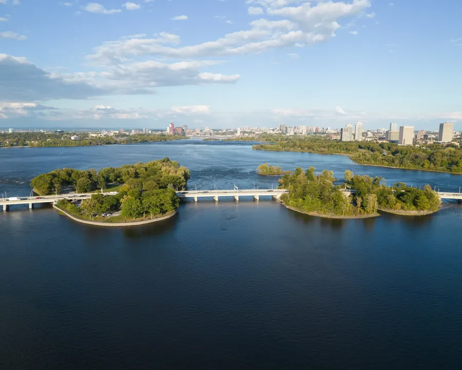 Champlain Bridge and the Ottawa River islands near Westboro. Photo: Harleyd613, CC0, via Wikimedia Commons
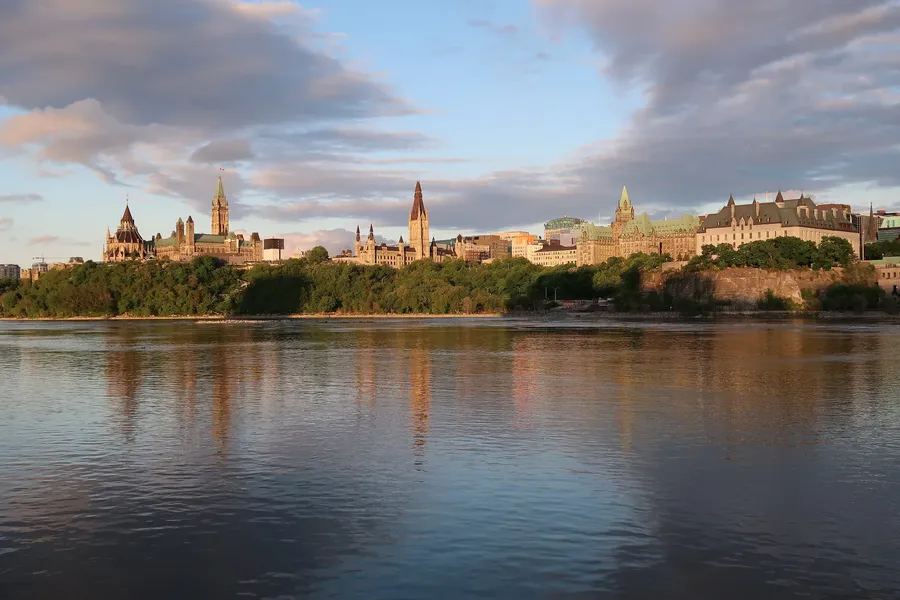 Parliament Hill and the Supreme Court seen across the Ottawa River from the west at sunset. Photo: Yooylee 30, CC BY-SA 4.0, via Wikimedia Commons
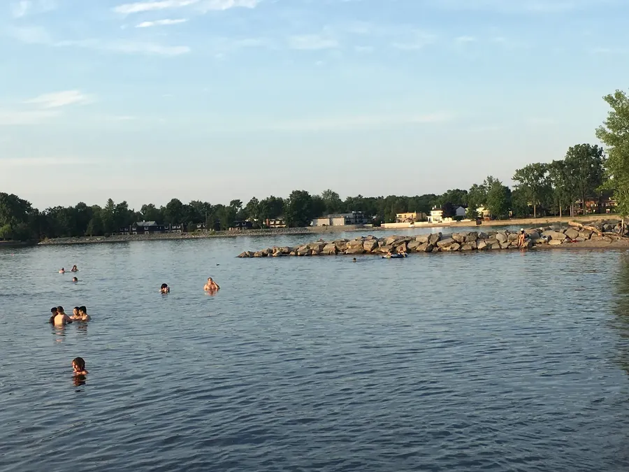 Britannia Beach on the Ottawa River, Ottawa's west end. Photo: Ross Dunn, CC BY-SA 2.0, via Wikimedia Commons
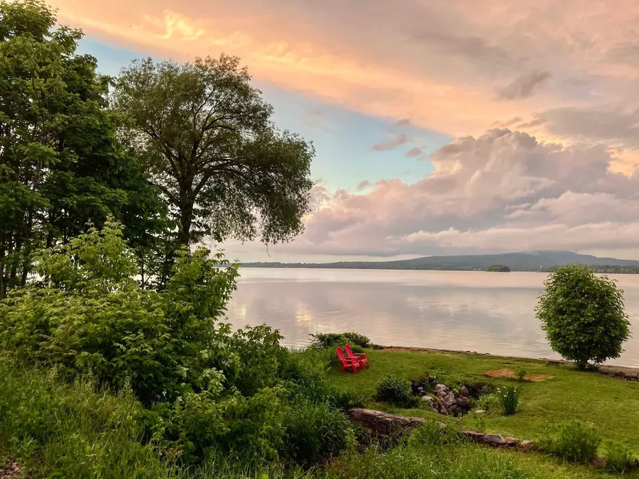 Summer evening on the Ottawa River shoreline. Photo: Guapitomark, CC BY 4.0, via Wikimedia Commons
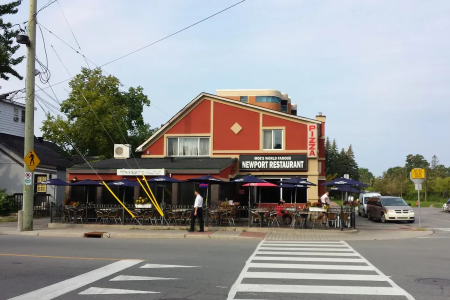 Moe's Newport Restaurant at Richmond Road and Churchill Avenue, Westboro. Photo: P199, CC BY-SA 3.0, via Wikimedia Commons
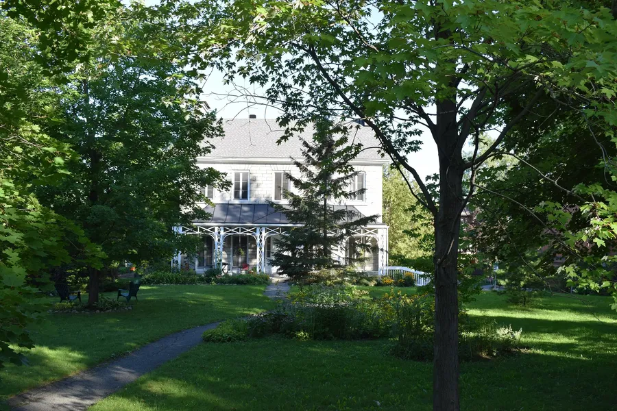 Heritage house at 635 Richmond Road, Westboro. Photo: Cantons-de-l'Est, CC BY-SA 4.0, via Wikimedia Commons
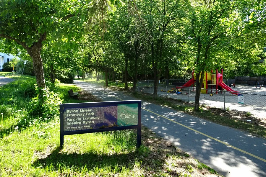 Byron Linear Tramway Park, a tree-lined path along a former streetcar line. Photo: P199, CC BY-SA 4.0, via Wikimedia Commons
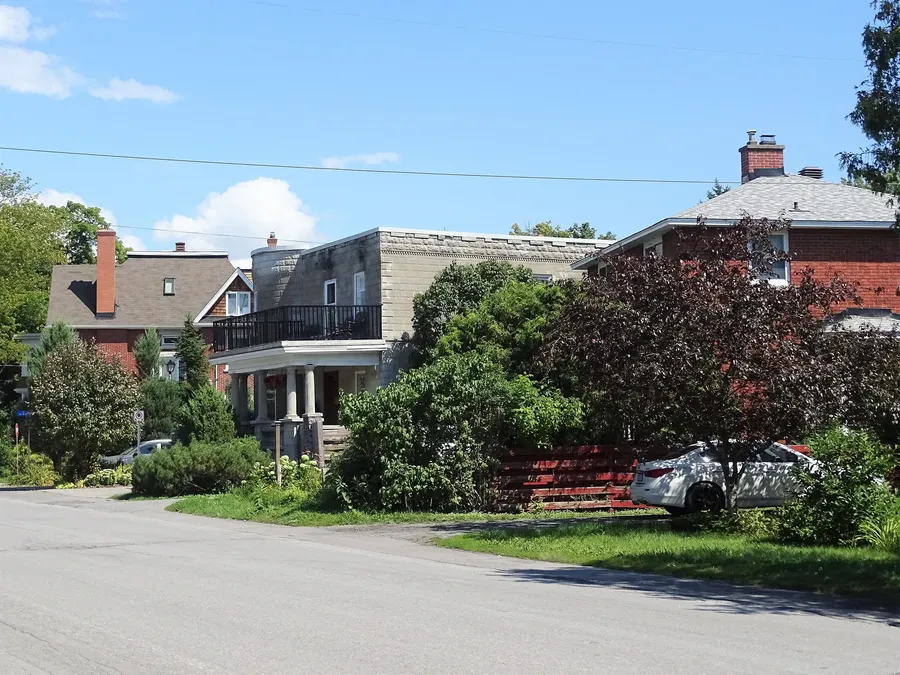 Homes on Byron Avenue near McKellar Park. Photo: Mosbo6, CC BY-SA 4.0, via Wikimedia Commons
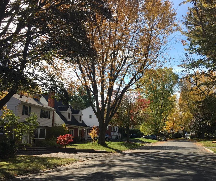 Autumn colour on Dovercourt Avenue, Carlingwood. Photo: Ross Dunn, CC BY-SA 2.0, via Wikimedia Commons
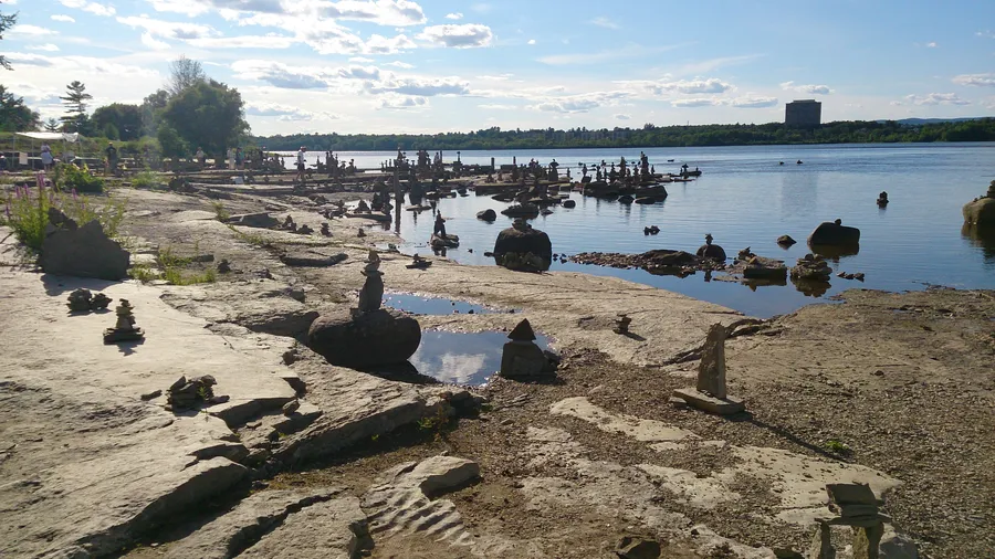 Balanced-rock sculptures on the limestone shore at Remic Rapids, Ottawa River. Photo: Bwami, CC BY-SA 3.0, via Wikimedia Commons
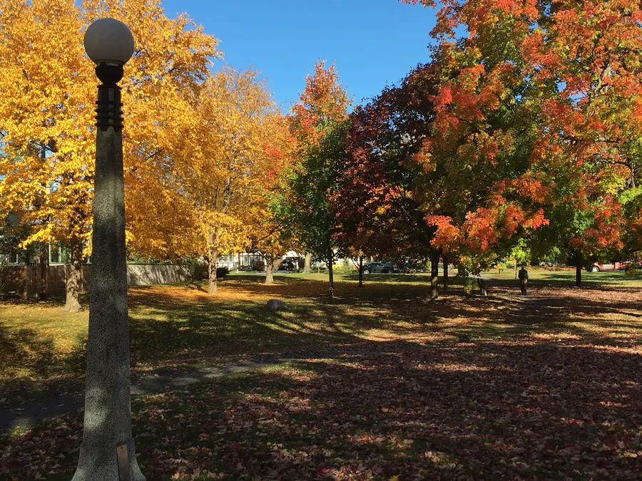 Autumn maples in Hampton Park, just east of Westboro. Photo: Ross Dunn, CC BY-SA 2.0, via Wikimedia Commons
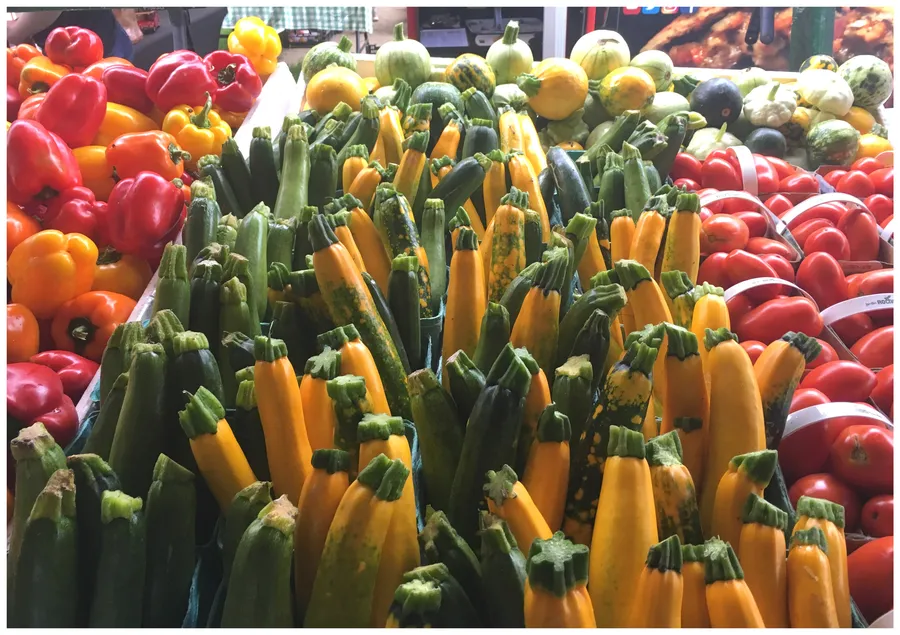 Peppers and summer squash at the Westboro Market. Photo: Ross Dunn, CC BY-SA 2.0, via Wikimedia Commons
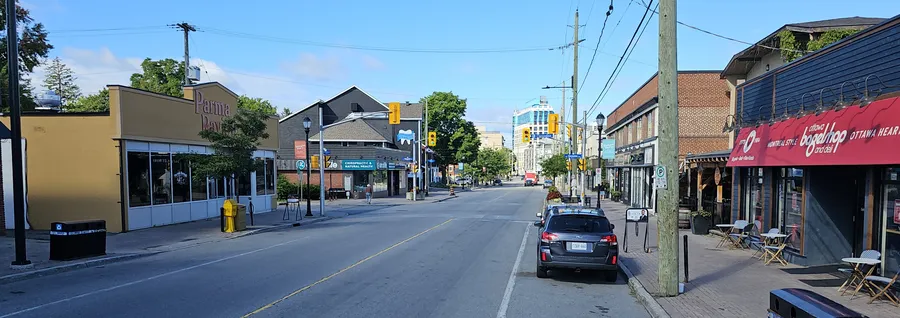 Looking west along Wellington Street West, Ottawa. Photo: Veillg1, CC0, via Wikimedia Commons
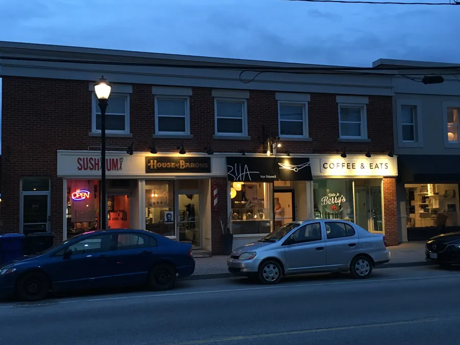 Small shops in the brick buildings along Wellington Street West at dusk. Photo: Ross Dunn, CC BY-SA 2.0, via Wikimedia Commons
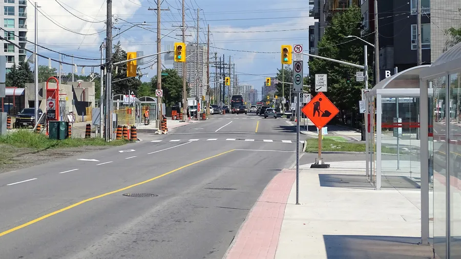 Temporary Westboro Station on Scott Street during O-Train construction. Photo: Mosbo6, CC BY-SA 4.0, via Wikimedia Commons
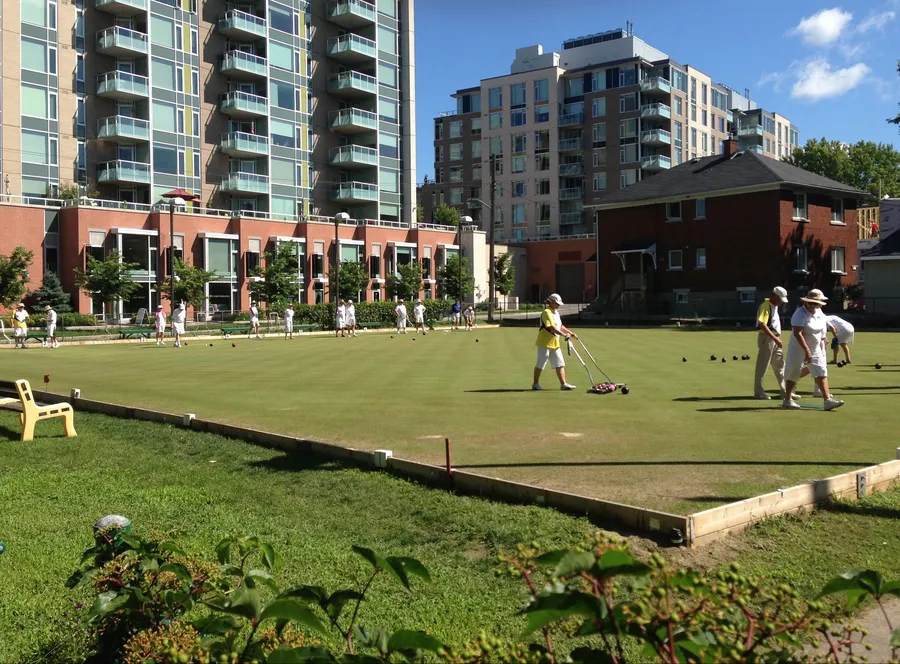 Lawn bowling green in Westboro. Photo: Ross Dunn, CC BY-SA 2.0, via Wikimedia Commons
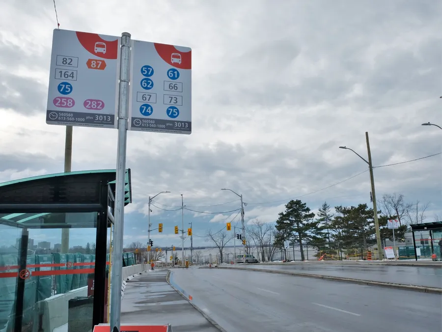 Dominion Station on the Kichi Zibi Mikan, near Westboro Beach. Photo: Mosbo6, CC BY-SA 4.0, via Wikimedia Commons
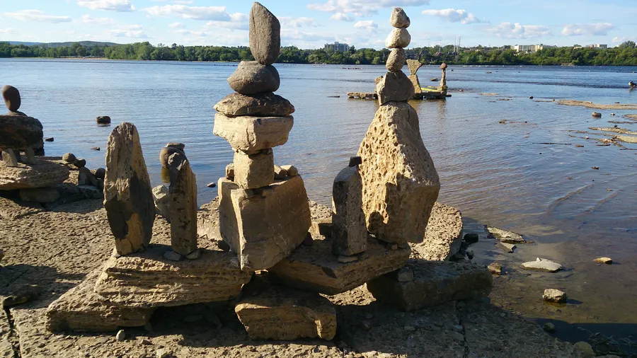 Balanced-rock sculptures at Remic Rapids on the Ottawa River. Photo: Bwami, CC BY-SA 3.0, via Wikimedia Commons
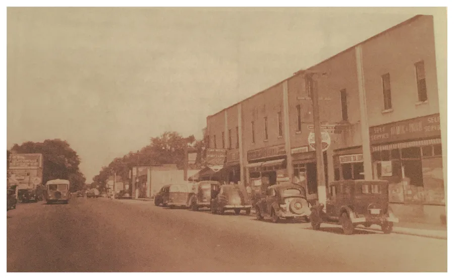 South side of Richmond Road looking east toward Churchill Avenue, circa 1935. Photo: Ross Dunn, CC BY-SA 2.0, via Wikimedia Commons
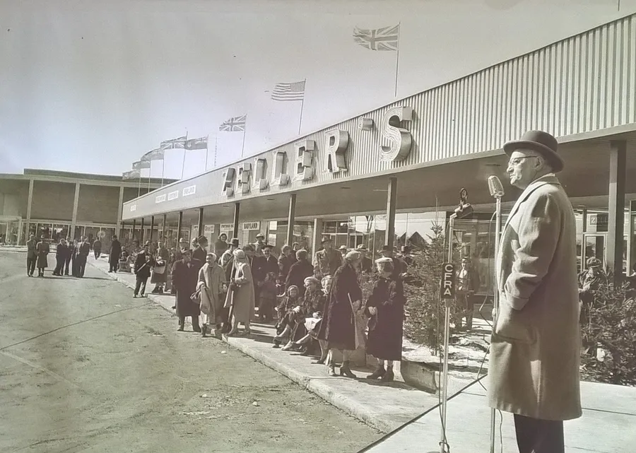 Carlingwood Mall in 1957. Photo: Ross Dunn, CC BY-SA 2.0, via Wikimedia Commons
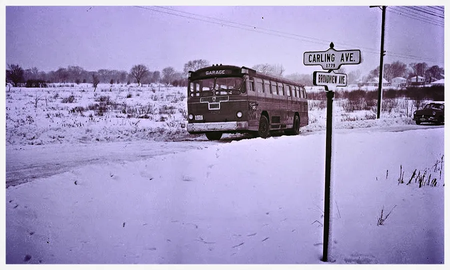 A bus on Carling Avenue at Broadview Avenue in 1952. Photo: Ross Dunn, CC BY-SA 2.0, via Wikimedia Commons
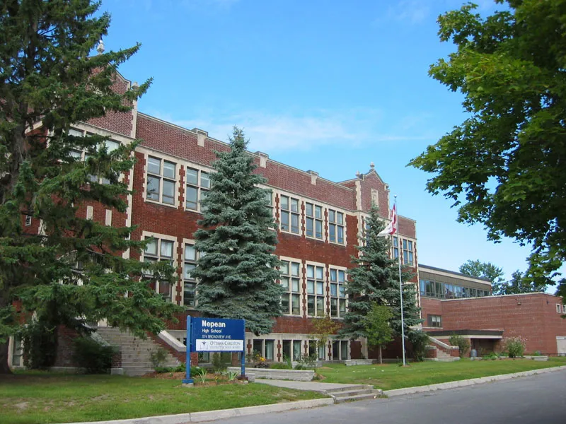 Nepean High School, Highland Park. Photo: Peregrine981 (Commons uploader), Public domain, via Wikimedia Commons
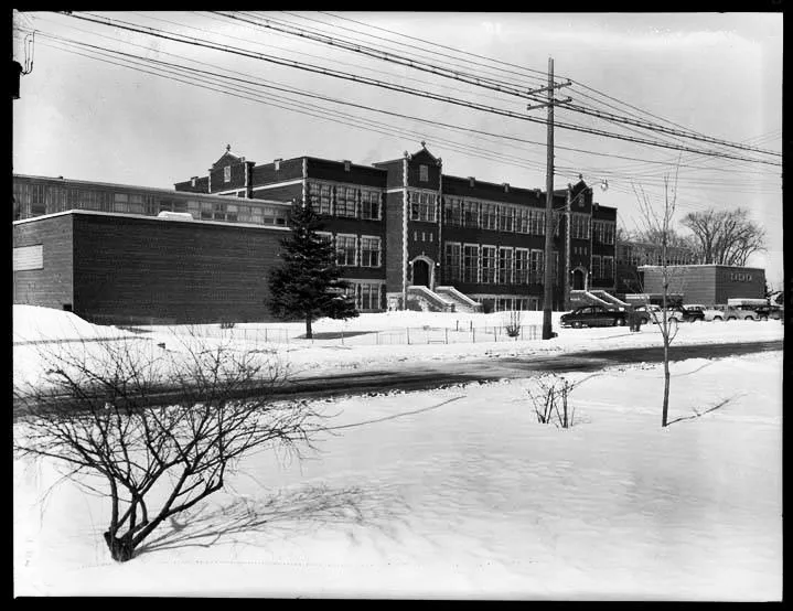 Nepean High School in 1954. Photo: Ross Dunn, CC BY-SA 2.0, via Wikimedia Commons
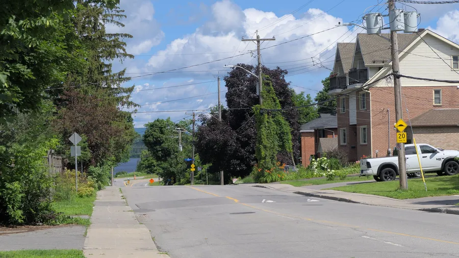 North end of Woodroffe Avenue, with the Ottawa River beyond. Photo: Natthager, CC BY-SA 4.0, via Wikimedia Commons
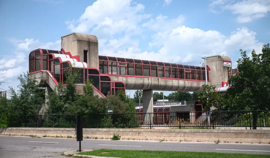 Pedestrian bridge at Lincoln Fields Station, seen from the Kichi Zibi Mikan. Photo: elysia, CC BY 4.0, via Wikimedia Commons
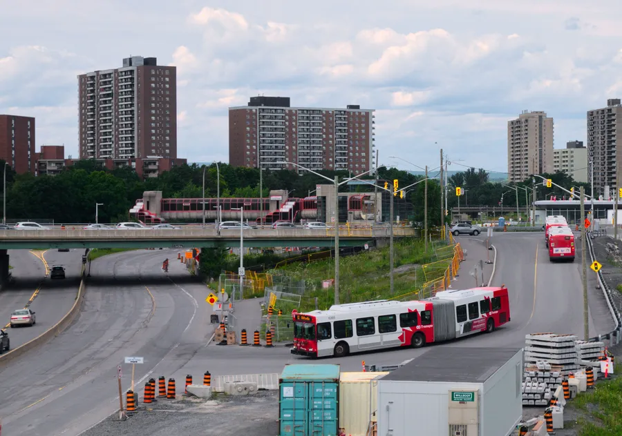 Articulated bus entering the Transitway trench on the ramp toward Lincoln Fields Station. Photo: Lynxano, CC BY 4.0, via Wikimedia Commons